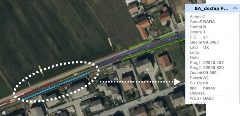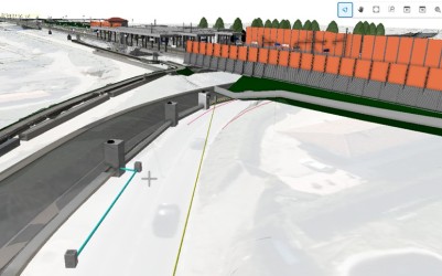
UTILITY SURVEY
Dossiers and site plans detailing underground utilities that may interfere with works under construction.
UTILITY MODELLING
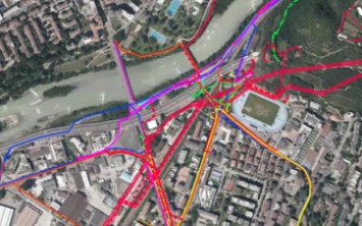
Process for implementing underground utilities within BIM.
DIGITAL TWIN
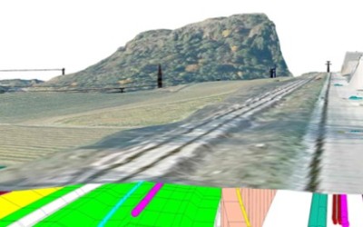
Creation of the Digital Twin and uploading of information to the Cloud for sharing with the parties involved.
AUGMENTED REALITY
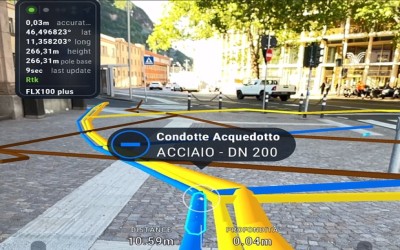
Transformation of traditional BIM projects and GIS data into realistic augmented reality (AR) holograms.
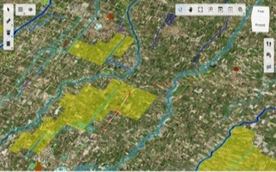
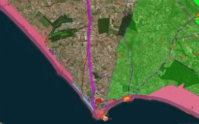
SURVEY OF RESTRICTIONS
Verification of restrictions that may interfere with the planned works.
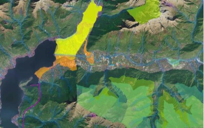
MODELLING OF RESTRICTIONS
Preparation of a 2D model of restrictions.
DIGITAL TWIN
Creation of a Digital Twin and uploading of information to the Cloud for sharing with the parties involved.
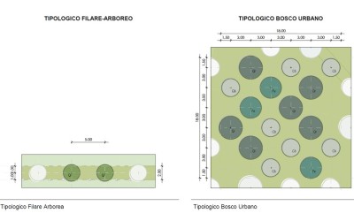
DESIGN
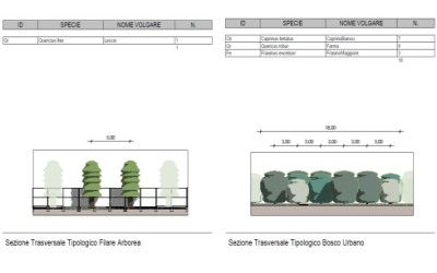
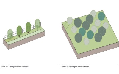
Positioning of tree and shrub species, mapped directly to project and the site, based on libraries that are organised and constantly updated.
ASSESSMENT AND REPORTING
Assessment and reporting based on the parameters associated with the specimen libraries.
ESTIMATION AND QUOTATION
Estimation and quantity surveying.
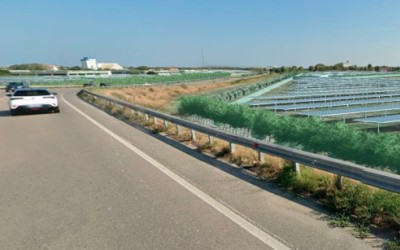
LANDSCAPE INTEGRATION
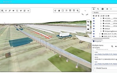
Implementation of the assembled model and iTwin to provide a comprehensive visualisation of the infrastructure, taking appropriate mitigation measures into account.
DESIGN
Modelling of the archaeological survey plan on the Federated Model (FM).
PARAMETRISATION
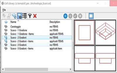
The digital archaeological trench model features elements mapped to specific tariff pay items through rule-based item catalogues.
STAKEHOLDER CONSULTATIONS
Creation of a Digital Twin and uploading of information to the Cloud for sharing with the parties involved.
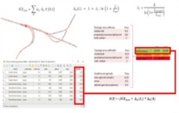
To minimise subjectivity and ensure a transparent, consistent, and comparable appraisal of route alternatives, local spatial data must be converted into a standardised CPO risk index. This property impact score removes personal bias from the option selection process, delivering an objective baseline for route selection as planning workflows transition from GIS toward GeoAI systems.
Structuring the land referencing and acquisition model as a dynamic asset database integrated with GeoAI unlocks a sophisticated level of spatial analytics. The database evolves into a high-value strategic asset, translating regional data into actionable intelligence to support scalable, objective, and data-driven planning decisions.
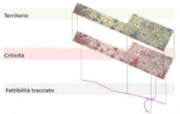
Spatial data standardisation to establish a uniform project appraisal framework.
Implementing mathematical models to quantify the complex relationship between the project and local area as early as the optioneering stage.
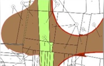
The GIS land referencing and acquisition model serves as the foundation for a dynamic asset register designed for seamless GeoAI integration and intelligent spatial querying.
DIGITAL DESIGN DURING THE OPTIONEERING STAGE
5D BIM model parametrisation
Design and computerised modelling of noise barriers as early as the optioneering stage.
DIGITAL DESIGN DURING THE TEFS STAGE
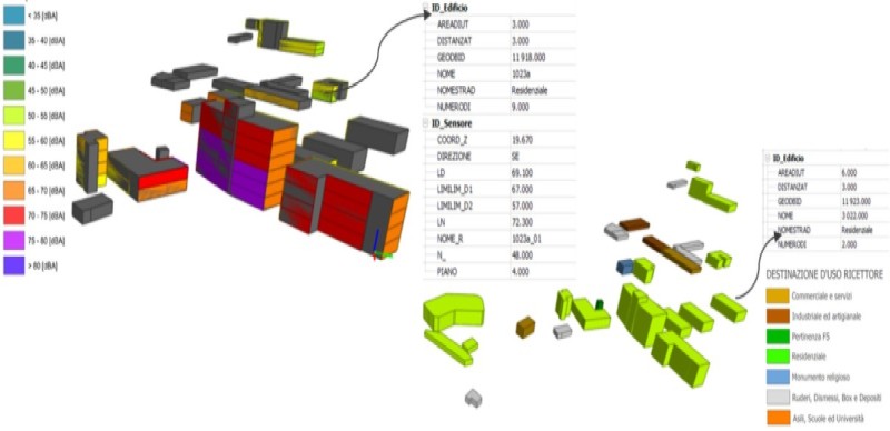
Digital implementation of acoustic design during the PFTE phase
Predictive 3D computerised noise modelling to calculate incident sound levels at receptor façades. This analysis determines the infrastructure’s acoustic compatibility and establishes the necessary scale and specification of noise mitigation measures.