DESIGNING USING FLOOD RISK MANAGEMENT METHODS
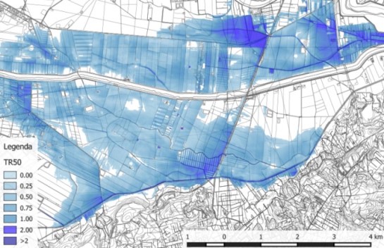
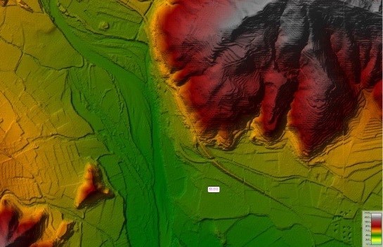
The innovative design approach provided by the methods of Flood Risk Management (a methodology that integrates hydraulic sizing with the evaluation of performance characteristics) has been introduced in the design of the hydraulic preservation of railway lines and crossed territories and represents an important innovation in the design of large linear infrastructures as well as in the maintenance of existing ones. It is implemented using the most modern environmental remote sensing techniques for land analysis (ground-based laser scan surveys and LiDAR flights) together with the use of modern 2D hydrological-hydraulic calculation programs for the evaluation of the behaviour of watercourses in case of flooding. In addition, the study of geomorphological processes and river morphology was included in the project standards in order to also take into account the evolutionary trends of watercourses.
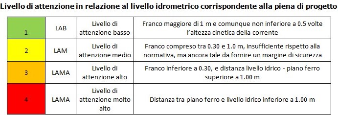
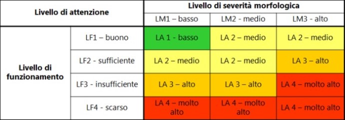
Hydraulic risk analysis of the infrastructure guides the identification of intervention priorities, both in terms of planned maintenance and in terms of possible adaptation of existing works, through the evaluation of the corresponding level of attention, determined through a system of matrices. Thanks to this original approach, it is possible to include in the works to be planned those features of SuDS (Sustainable Drainage Systems) that have not been used so far in the field of hydraulic defence of railway works. This innovative methodology increasingly improves the iterative process of Integrated Design, which combines compliance with the requirements proper to the railway infrastructure and the needs for compatibility with land use, providing in particular the plano-altimetric constraints to be met to ensure its correct environmental insertion.